Advanced Geospatial Visualization Techniques in Power BI
Bridge the gap between GIS software and Power BI with our targeted training! Transform your mapping visuals and elevate your data storytelling skills.
Trusted by 220,000+ people worldwide.
An outline of this training course
Discover advanced mapping techniques in our course, GIS Meets Power BI: Advanced Geospatial Visualization. Paul teaches you to use GIS software for creating custom maps, including dynamic territories and distance rings. Empower your teams to analyze data and enhance operational and sales strategies. Unlock new possibilities in geospatial intelligence and take your strategic insights to the next level!
What is needed to take this course
There are no prerequisites for this course.
Who is the course for
Analysts looking to build location intelligence solutions using Power BI map visuals
Details of what you will learn during this course
By the end of this course, you will:
- Build location intelligence solutions using Maptitude and QGIS with Power BI
- Create background maps
- Generate Isochrones
- Create dynamic custom territories
- Calculate distances and explore different routes between points on a map
- Learn various methods of geocoding
What you get with the course
- A two-hour plus self-paced video training
Program Level
Advanced
Field(s) of Study
Computer Software & App
Instruction Delivery Method
QAS Self-study
***This course was published in May 2023
Enterprise DNA is registered with the National Association of State Boards of Accountancy (NASBA) as a sponsor of continuing professional education on the National Registry of CPE Sponsors. State boards of accountancy have final authority on the acceptance of individual courses for CPE credit. Complaints regarding registered sponsors may be submitted to the National Registry of CPE Sponsors through its website: www.nasbaregistry.org
What our
Students Say
Curriculum
Course Overview
Introduction
Mapping Techniques
Course Wrap Up
Your Feedback
Certification
Continuous Learning
Your
Instructor
Paul Lucassen
Enterprise DNA Expert
- Focusing on Logistics and Transportation Analysis with Power BI, providing solutions to both manufacturers and logistics companies throughout Europe and the US.
- Specialised in Geospatial Analysis with 2 courses on the platform.
- BrIdging the gap between standard GIS software and mapping in Power BI.
Frequently Asked
Questions
What’s the difference between a free account and a paid plan?
Do I need to know anything about data science or data analytics to get started with Enterprise DNA?
How will I be charged?
Can I get an invoice for my company?
Are refunds available?
Will AI take over the world and make data skills worthless?
Recommended
Courses

Mastering Automation with Power Automate

Building and Deploying AI-Driven Apps

AI App Development Beginners Guide
Get full access to unparalleled
training & skill-building resources
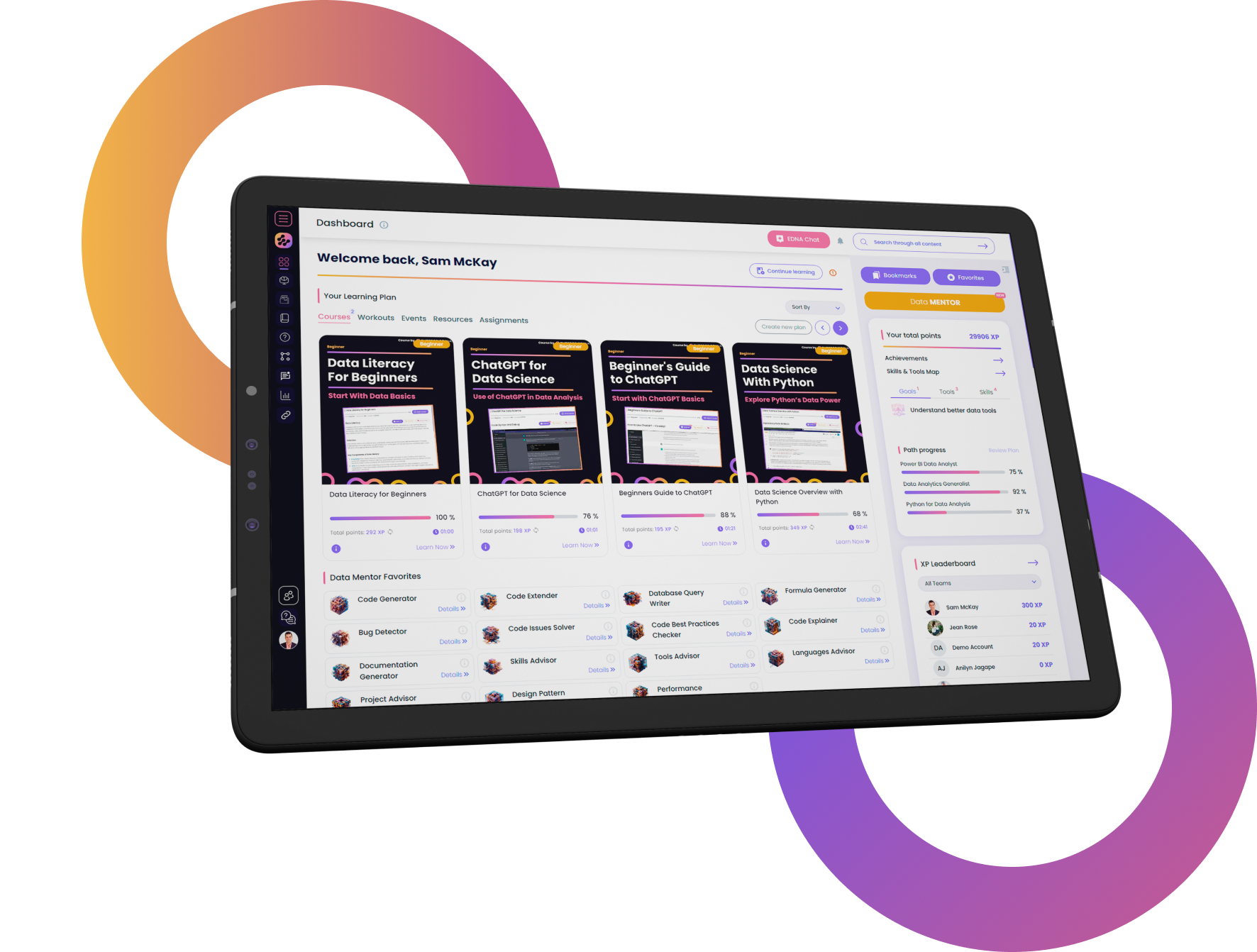
FOR INDIVIDUALS
Enterprise DNA
For Individuals
Empowering the most valuable data analysts to expand their analytical thinking and insight generation possibilities.
Learn MoreFOR BUSINESS
Enterprise DNA
For Business
Training, tools, and guidance to unify and upskill the data analysts in your workplace.
Learn More